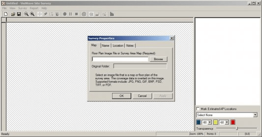
Wave Site Survey is a mapping application which displays detailed reports of wireless networks (802.11a/b/g/n) coverage. The mapping process is simple. First, the application must be installed on a laptop with a wireless network adapter. Then, all you have to do is go to various points of interest from the selected area, and click the corresponding position on the map. If you need to survey a large area, a GPS device can also be connected to the application and used to track your location. There is no need to manually mark the wireless devices on the map before starting the survey. VisiWave Site Survey will automatically display all the SSIDs and access points on the map after a complete coverage.
Once the field work is done, the wireless signal coverage is displayed on the map. There are several reporting options for signal mapping, including a Signal to Noise Ratio Contour graph and SNR Contour Line graph. Results can be customized by adding personal notes or highlighting points of interest on the map.
A report can be saved as a PDF or HTML file, or exported as a KML file for 3D display in Google Earth View. The integration with Google Earth View is very useful for large sites mapping, allowing interactive browsing.
Overall, VisiWave Site Survey is a good wireless mapping and reporting application, especially recommended for enterprise networks or large sites.


Comments